The Topography of Thailand
Destination:
ThaiInfo
Welcome to Amazing Thailand
Total Page Views for ThaiInfo: 3,643,895 - Views this week: 3,643,895 |
|
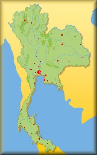
| Thailand has a large variety of geographical features; however, the “elephant head” can be divided into 4 main regions: |
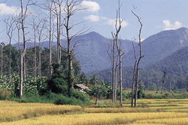
The North is predominantely a mountainous area while the middle and south are the plains. Theses mountains are said to be the foothills of the Himalayan range.
Doi Inthanon, which is Thailand's highest mountain at 2565 m and is located some 60 km to the southwest of Chiang Mai.
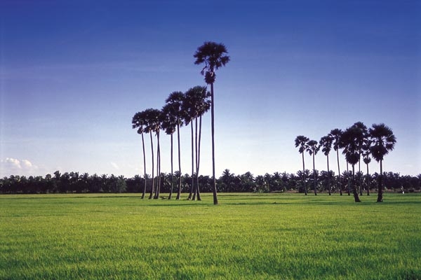
The main region in Central Thailand is the fertile Chao Phraya basin, which is also called the “Thai rice bowl”. It comprises of the plains near the river and the surrounding terraces.
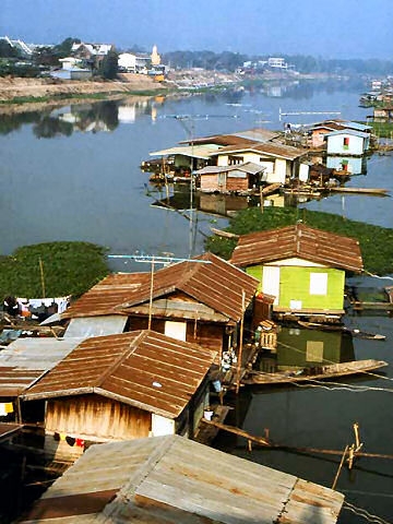
The Chao Phraya river which derives from the confluence of the Ping and Nan rivers, is Central Thailand's lifeline and the most important river in Thailand. It is also called “maenam” which just means “river”.
The Chao Phraya river flows into the Gulf of Thailand. Its river delta branches out widely and is used extensively for agriculture. | 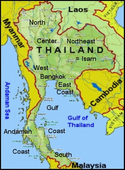 |
The Northeast of Thailand (Isarn, also spelled Isaan) is characterized by the Korat plateau, which is a red sandstone plain, with an average height of 250m (800 feet).
In the south and west the plains are surrounded by several mountain ranges and in the east they gradually descend to the Mekhong valley. |
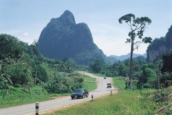
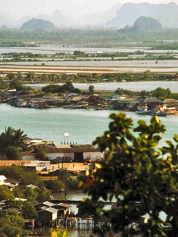
South Thailand, the “elephant trunk”, is the northern part of the Malay Peninsula.
The Andaman coastline in the west is made up of limestone karst formations. They rise to a height of 1000m. The Gulf coast in the east is characterized by a wide plain with long beaches partially forming wide bays. |
The North
 | The Center
 | The South
 |
Near Doi Inthanon
| On the Chao Phraya
| Near Surat Thani
|